
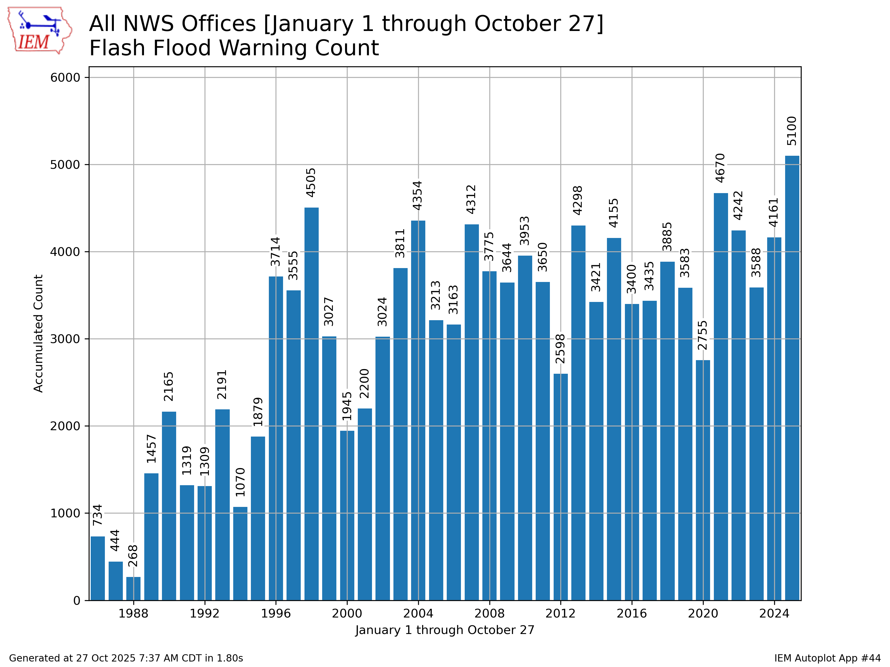
2025 saw a record-breaking number of flash flood warnings issued by the National Weather Service. In fact, according to NOAA’s National Severe Storms Laboratory, floods are the most common weather-caused disaster in the United States—and their impact on humans, infrastructure, and the environment are myriad. With localized and riverine floods expected to become even more common and widespread, it is increasingly important that communities act to mitigate flooding.
In areas with high flood risk, Hazard Mitigation Plans include strategies to minimize the threats of flooding. Hazard mitigation efforts are an investment in community resilience to disasters like flooding: every dollar put towards hazard mitigation saves an estimated $13 in future costs.
Like any natural disaster, flooding is a multi-dimensional issue, meaning it requires multi-dimensional solutions. Flooding is more than just a result of heavy precipitation and excessive water—it's also a result of land development (i.e., where and how we build). Ecosystems like wetlands have a natural ability to manage water and mitigate flood impacts, but legacies of poor land management practices like deforestation and stream channelization have compromised these natural services.
What if solutions could minimize the effects of flooding on communities and address underlying causes by restoring ecosystem functions? These cross-cutting efforts can come in the form of nature-based solutions (NBS), or actions that use natural processes to protect or conserve nature while simultaneously providing benefits to people. Sometimes referred to as green infrastructure, NBS can increase community resilience to flooding and other hazards while providing important co-benefits for ecosystems and communities. However, successfully implementing these projects often requires technical expertise and a unique knowledge of local hydrology and ecology. This is where conservation districts can come in.
Almost every county in the U.S. has a conservation district. Established under state law, conservation districts are subdivisions of the state government responsible for working with public and private actors to coordinate local conservation action. These efforts include everything from preserving forests and wetlands, to maintaining healthy soil and water. Whether or not they are formally involved in hazard mitigation planning, many districts already undertake work that helps to mitigate flooding. For example, wetland restoration efforts—though often primarily intended to conserve habitat and improve water quality—can also provide important flood mitigation functions by enhancing the ecosystem’s natural ability to absorb water during heavy rainfall events.
Nature-based solutions are the common denominator between conservation districts and hazard planners—even if approached from different angles.
The hazard mitigation planning process can serve as a platform for both groups to identify overlapping priorities, pool resources and expertise, and ultimately develop stronger and more holistic NBS for flood risk reduction. Both state and local governments have hazard mitigation plans. At the local level, districts around the country are joining forces with hazard mitigation planners, and the benefits of these partnerships are far-reaching. For example, in Illinois, McHenry County Conservation District bolstered the success of a 25-year effort to restore the Nippersink Creek floodplain’s natural hydrology when it joined the county’s Hazard Mitigation Plan. The process-based initiative sought to restore the stream where it had been disconnected from the surrounding wetlands in the 1950s, leading to streambank erosion and flooding in the community. By joining the mitigation plan, the district not only developed new partnerships with landowners and the local government, but it also became eligible for additional funding for the project through FEMA’s Hazard Mitigation Grant Program. The project has involved disabling drain tiles, re-meandering the stream, and reintroducing native vegetation. Today, restored sections of the stream expand during heavy rain events, allowing wetlands and floodplains to absorb excess floodwater while reducing flood risk for the community.
The distinctive role of conservation districts as hazard planning partners extends even beyond their natural resource expertise. For one, flooding does not adhere to jurisdictional boundaries—so solutions shouldn’t, either. Conservation districts have a unique ability to plan at the watershed scale, meaning that mitigation benefits can extend beyond county and district lines to also minimize flood risk for neighboring communities. For example, a flood district in Colorado—one of the largest water providers in the state—is participating in a mitigation plan which qualifies the entire district for project funding. These opportunities extend to all hazards—not just flooding. In the Denver-metro foothills of Colorado, a conservation district joined a multi-jurisdictional plan and was approved for a large wildfire mitigation project that also benefits less-resourced communities outside of county lines.
Conservation districts also bring a critical perspective to the planning process given their longstanding relationships with landowners, local government actors, and other community groups. In California’s Bay Area, San Mateo Resource Conservation District acts as a trusted connector between public and private actors. Participating in the Hazard Mitigation Plan has increased the visibility of the district's work in the community and raised opportunities to collaborate with new partners on multi-benefit resilience initiatives. When it comes to implementing flood mitigation efforts, the district’s understanding of the needs of various stakeholders allows it to design solutions that reflect the priorities of decision-makers and community members alike.
Learn more
In 2025, the Environmental Law Institute partnered with FEMA and conservation districts around the country to develop resources that can support stronger coordination in hazard mitigation planning. To learn more about the hazard mitigation planning process, read about other districts who have joined a hazard mitigation plan and implemented creative nature-based solutions for flood risk reduction, and more, please visit our resource page.